Aerial Imagery
Georeferenced or orthorectified imagery forms the base layer and is the starting point for many geospatial data sets. One of the most widely used and essential tools for mapping, aerial imagery is only current at the time it was taken and with today's fast changing landscape frequent updates are crucial.
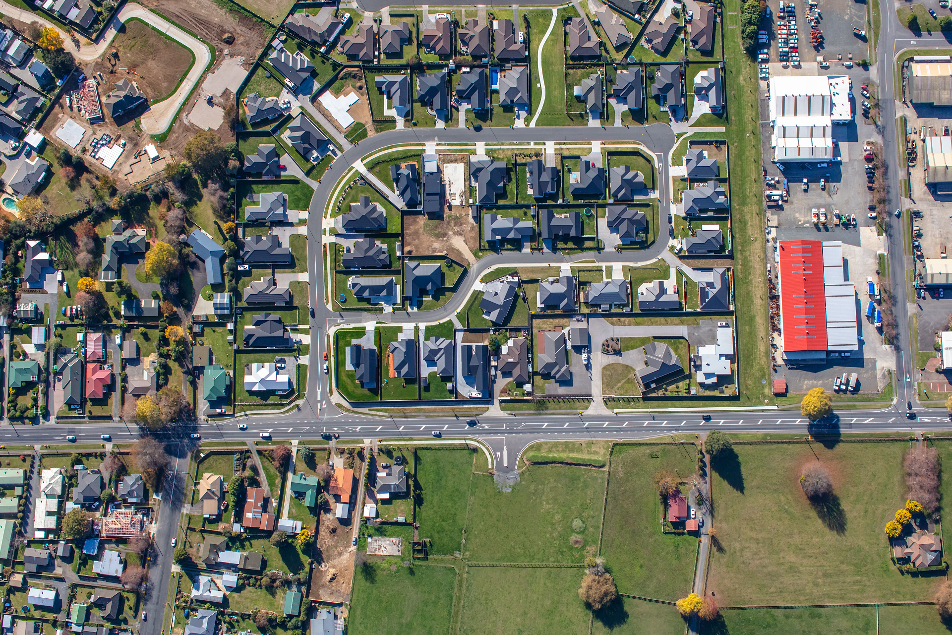
Colour (RGB)
We take great pride in providing superb quality, affordable imagery. Data acquisition is planned and executed under the best circumstances possible and always to slightly higher specifications than project requirements.
All imagery is captured at full radiometric resolution with no compression enabling the best result to be obtained during post processing.
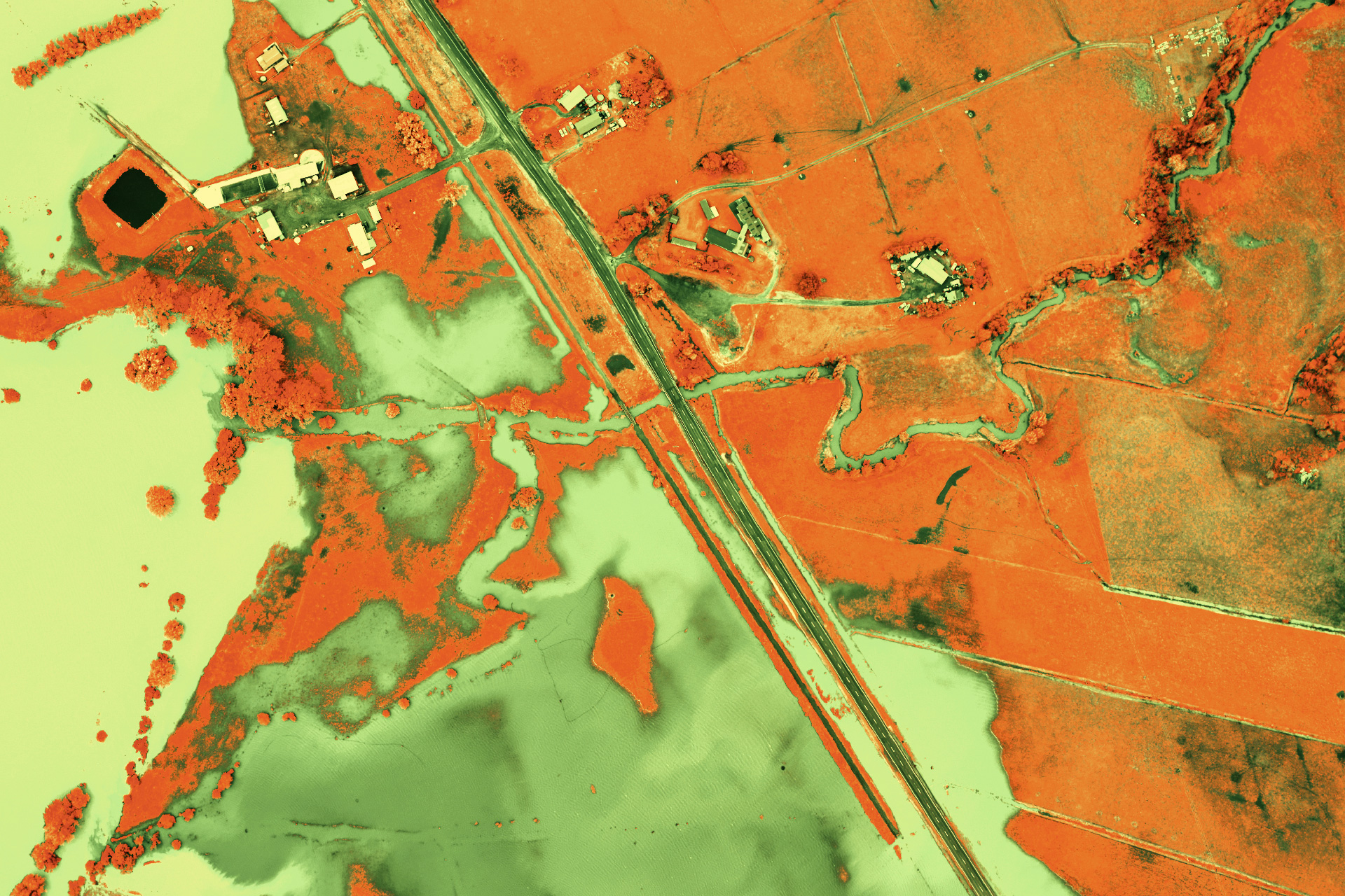
Near-Infrared (NIR)
Capturing reflected light outside of the human visible spectrum, near-infrared imagery is particularly useful for plant and water related tasks.
Widely used for vegetation analysis, precision farming, change detection and flood mapping, NIR imagery when simultaneously captured with colour produces a versatile data set.
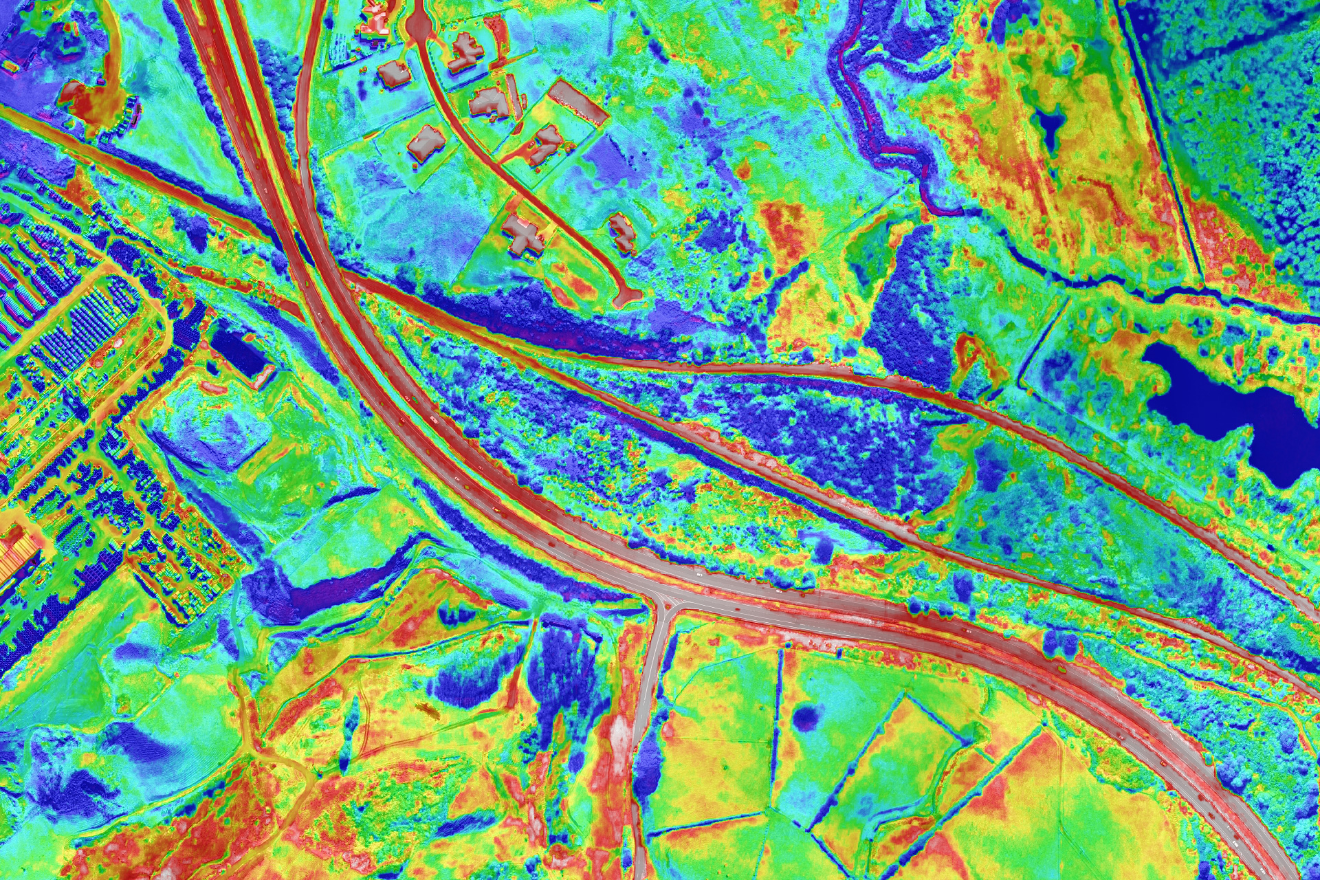
Thermal Imaging
Detecting emitted radiation in the long-infrared range, our thermal camera records calibrated surface temperature data.
For best results, specific methodology is required for the acquisition and handling of aerial thermal imagery. Depending on the objective, acquisition parameters could be irregular, flights may have to be conduted in the evening or before sunrise in the morning and altitudes may be lower.
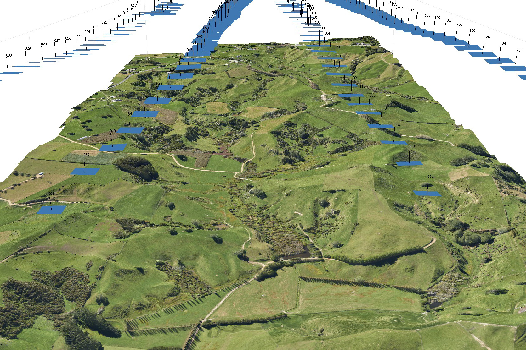
Oblique Photography
Capturing photographs or imagery at an oblique angle from the aircraft can be very useful for a variety of tasks such as ground truthing, asset inspection, 3D modeling, property valuations and audits.
Single or 'point-of-interest' oblique photographs are geo-tagged to provide position information. Multiple images captured to planned specification can be incorporated into photogrammetric projects if required.
Processing & Mapping
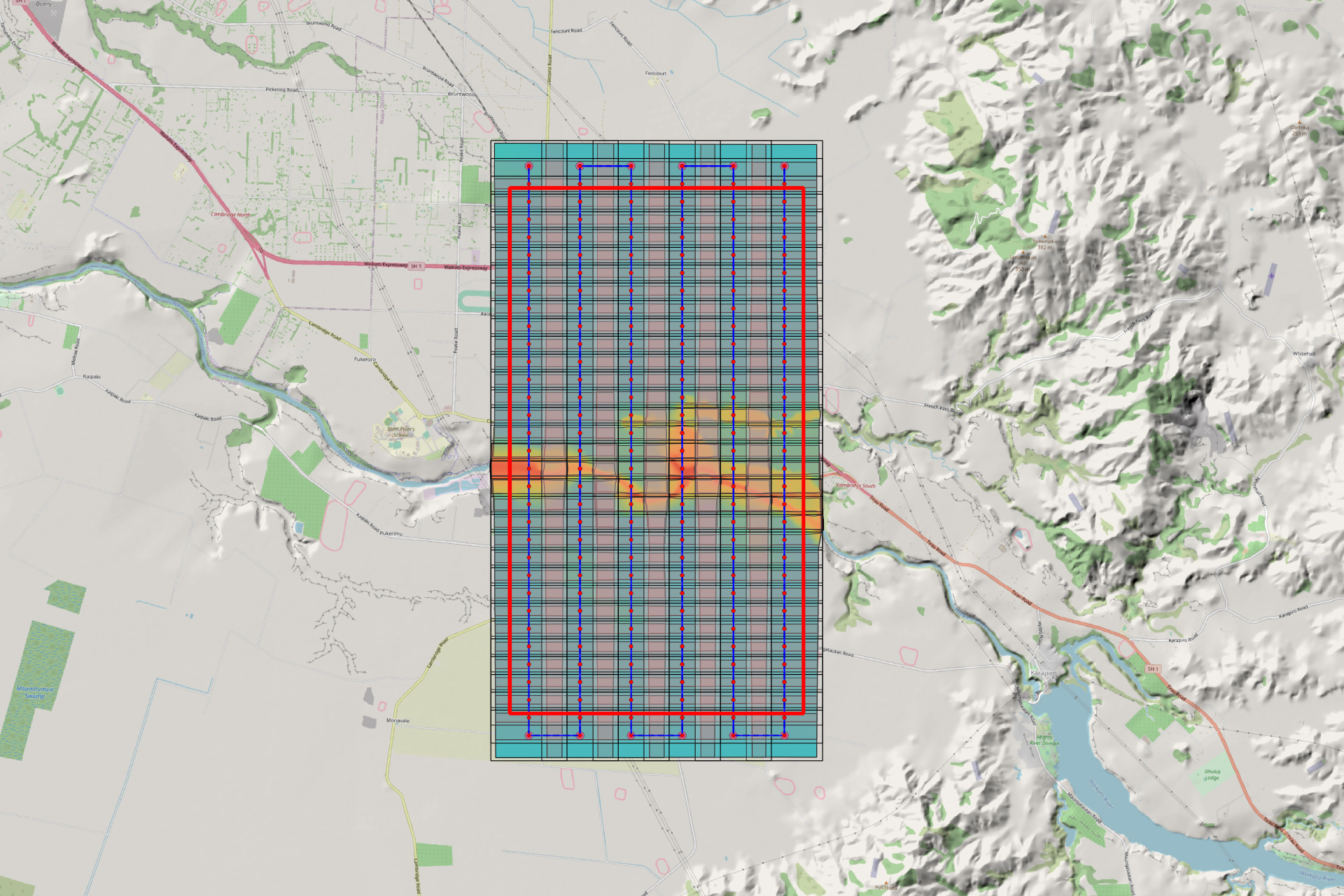
Flight Planning
Meticulous and thorough mission planning is critical. Characteristics of the area of interest, data end usage and generated products, sensor and GNSS/IMU limitations, aircraft performance, meteorological and light conditions, are key factors amongst the many to research, consider and take into account when mission planing.
Over the last twenty years we have planned and executed aerial surveys in many diverse locations, sometimes under challenging conditions and with various imaging sensors from a DSLR to the Leica ADS100 line scanner. This experience, not just with aerial survey but also as a commercial pilot is extremely useful.
Post-Processing
Post flight processing involves tasks such as downloading and backing up of acquired data, GNSS/IMU data processing; collating and sorting, developing RAW imagery, finalising notes and organising outputs for ingest into photogrammetric production or delivery to the client.
NZAIS uses industry leading software with workflows developed from years of experience to ensure optimal and efficient results post-flight.
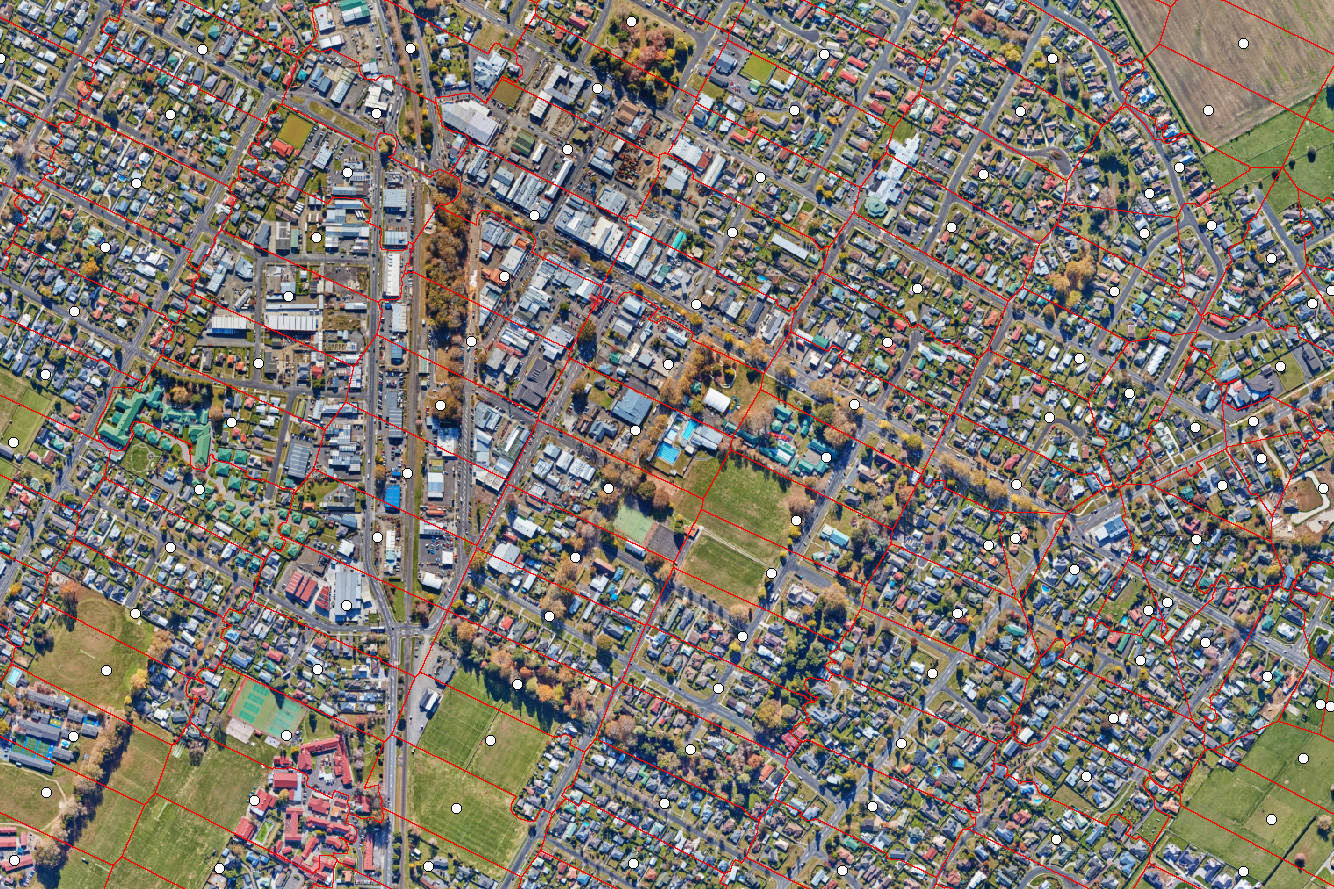
Orthophoto Production
Once geometrically corrected or orthorectified, imagery is mosaicked to produce a single orthophoto of the area of interest, as an accurate representation of the earth's surface an orthophoto can be used to accomplish various mapping and measuring tasks.
Orthophotos can be generated from RGB, NIR and thermal imagery.
Final accuracy depends on a number of factors including data capture specification, quality of the airborne GNSS solution, implementation and quality of ground control if used and processing methodology.
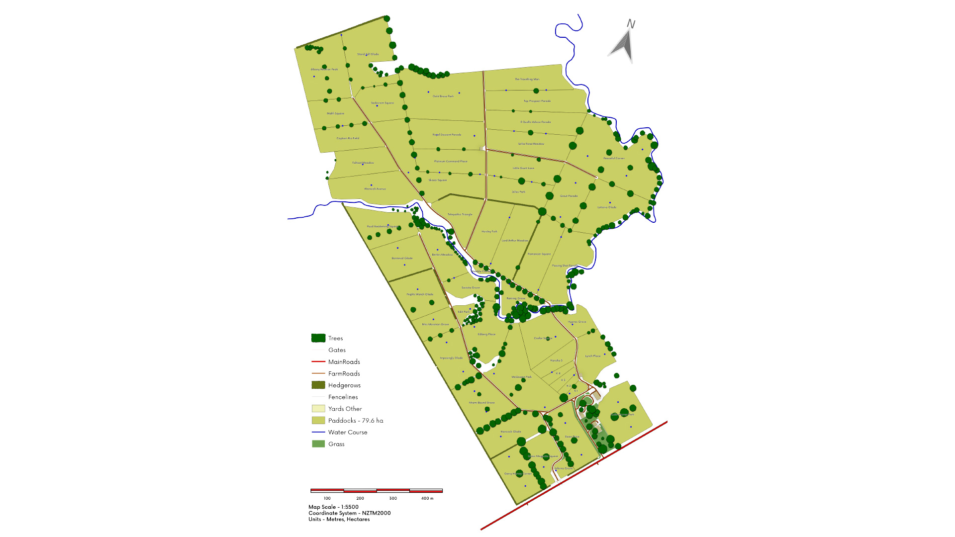
Mapping
We have a wealth of experience with creating vector data sets, generating maps, map publishing and printing.
Whether your requirement is for a farm map, conservation, tourism, or an entire provincial road network, we have the experience and resources to provide an optimal solution.