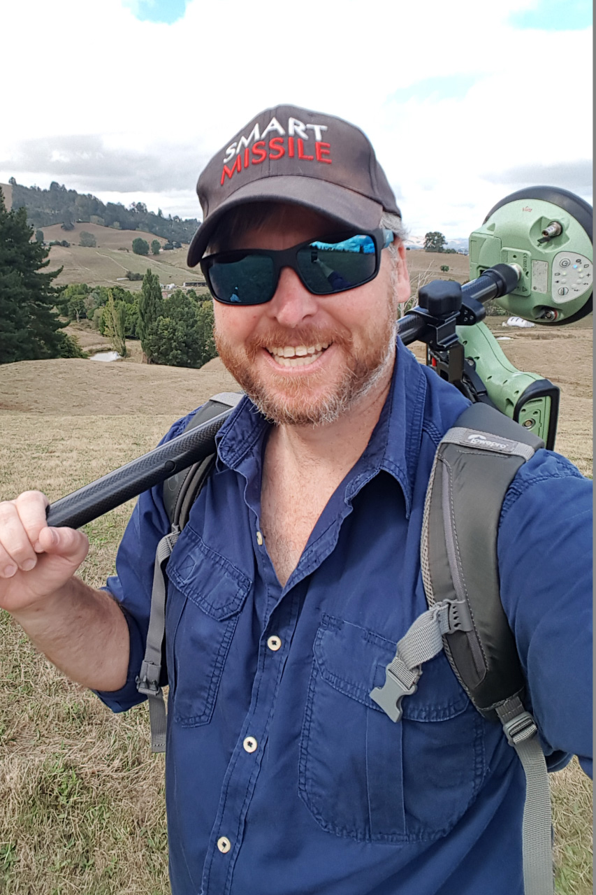
ABOUT US
Specialising in aerial survey and geospatial work for 20 years.
Through extensive operations in Africa and various parts of the world we have gained valuable experience with almost every facet of aerial survey. From flying for and management of Part 135 aircraft operating organisations to many varied rolls including ground surveys, processing, photogrammetry, planning, project management, training and client liason.
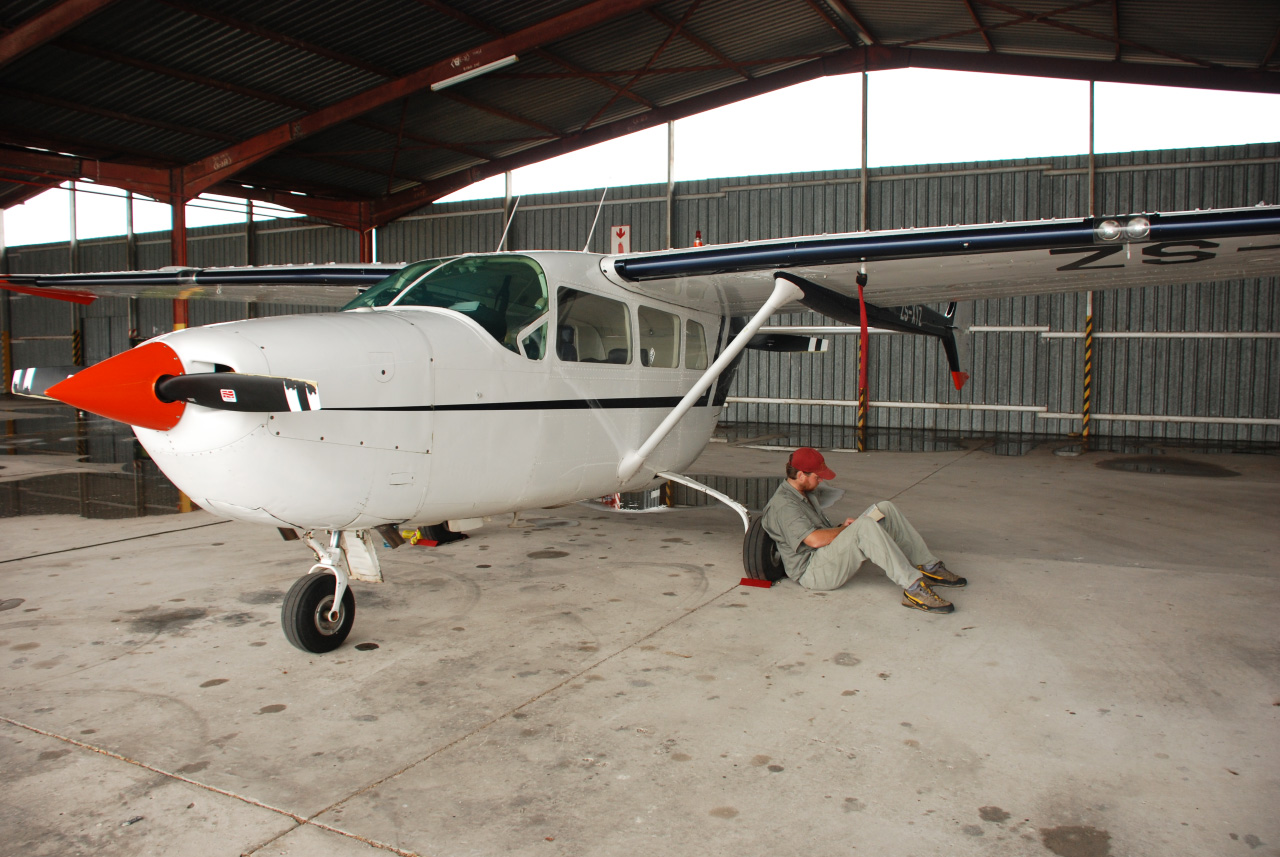
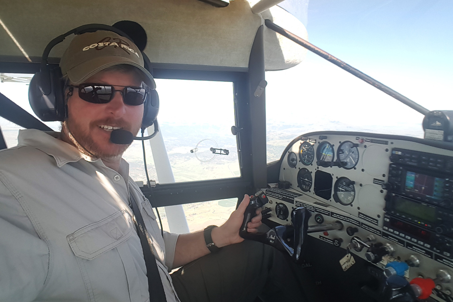
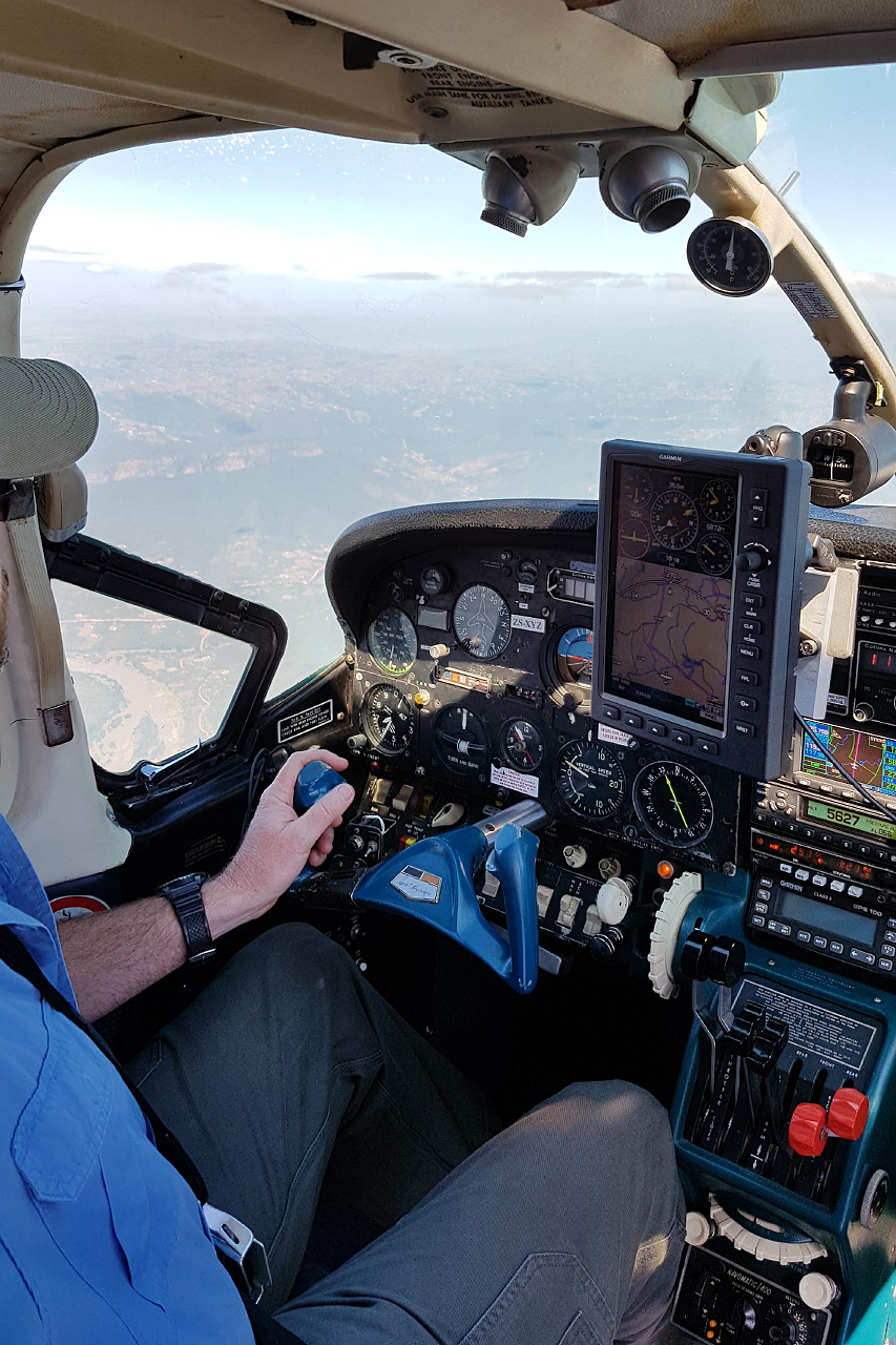
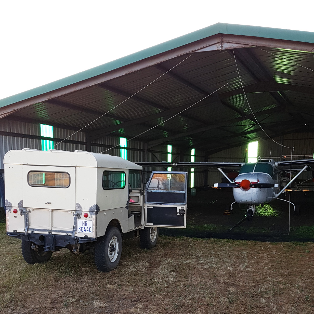
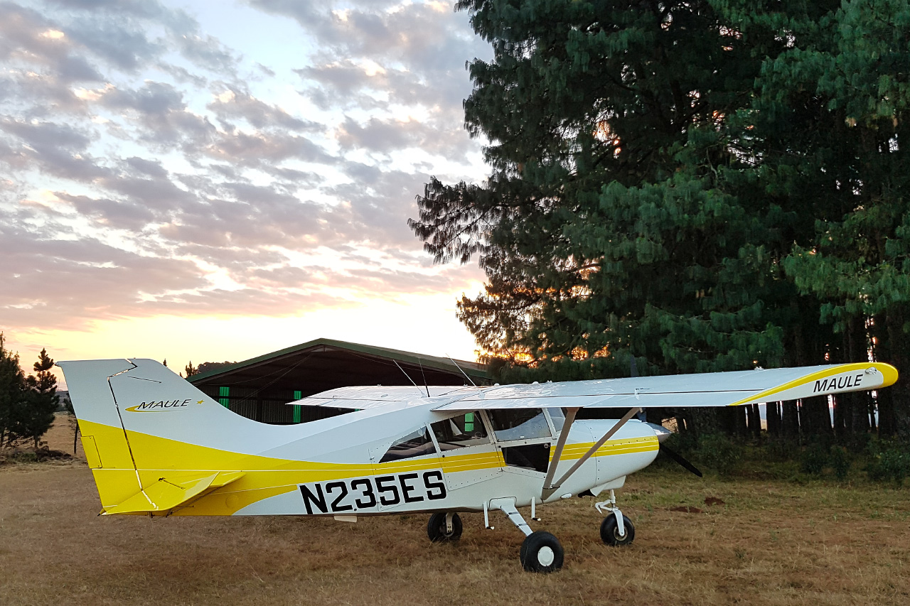
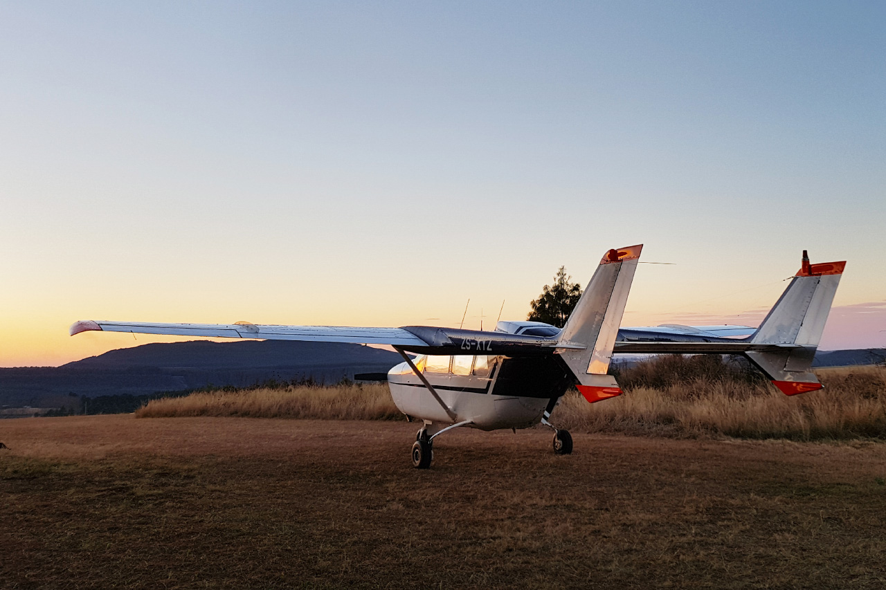
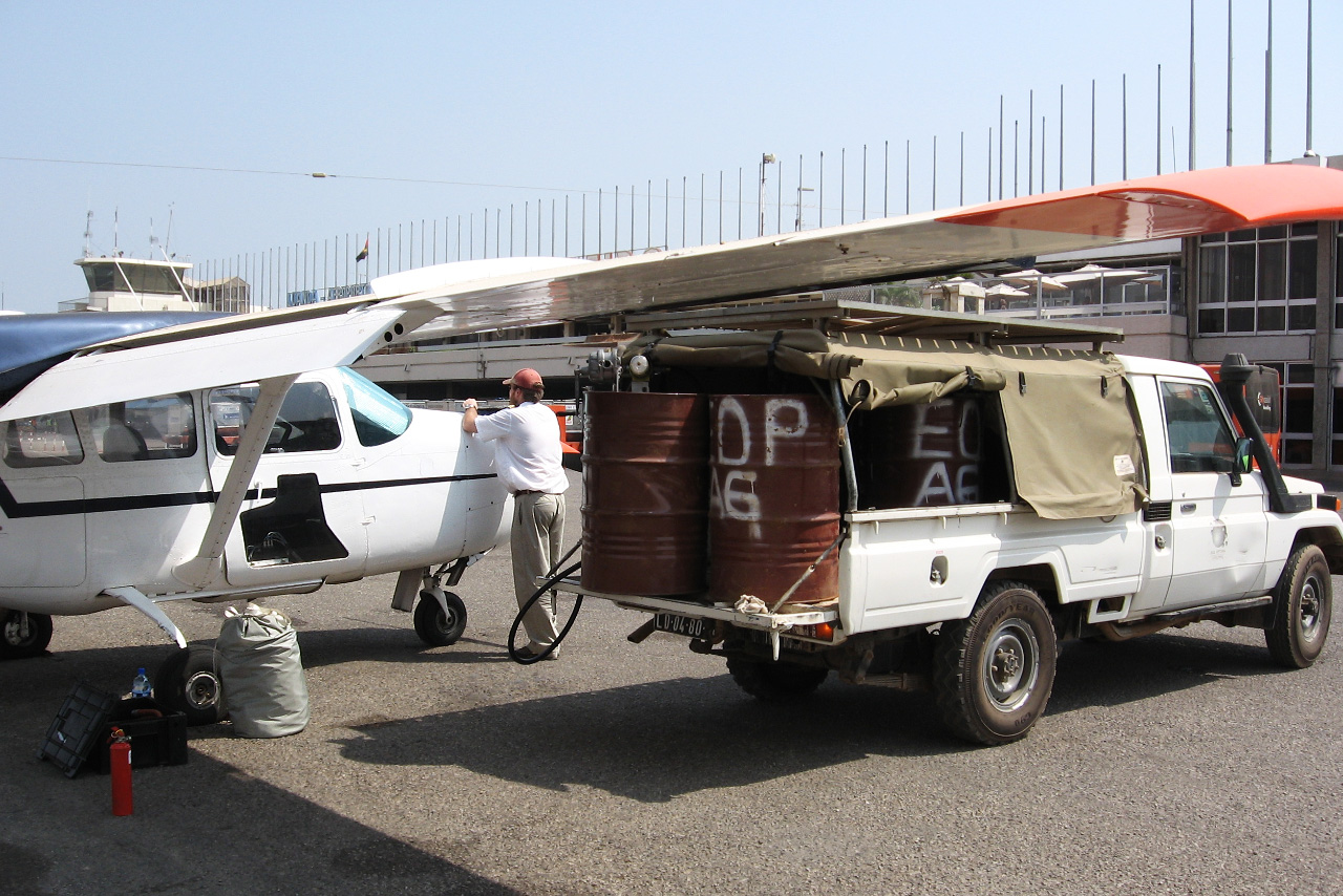
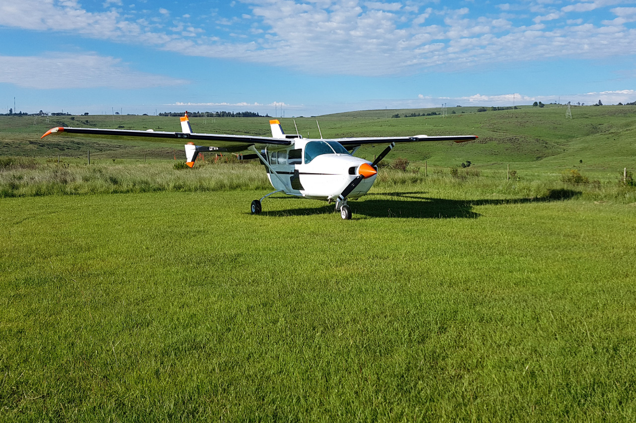
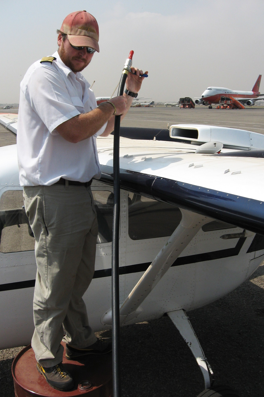
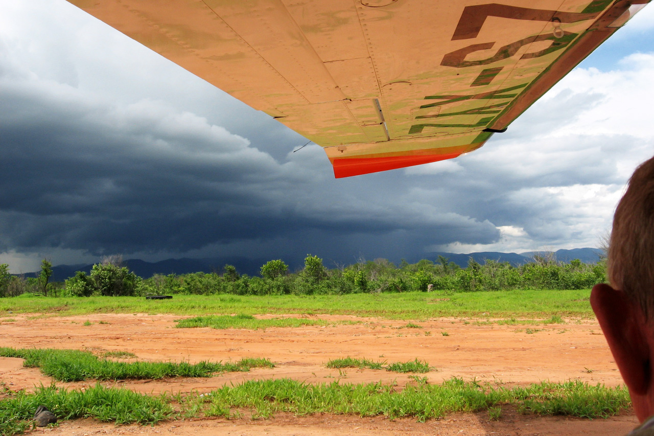
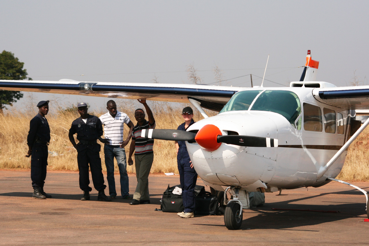
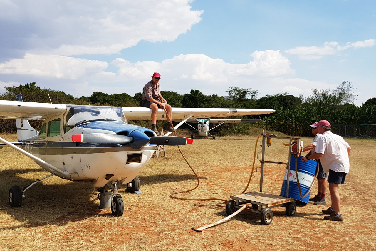
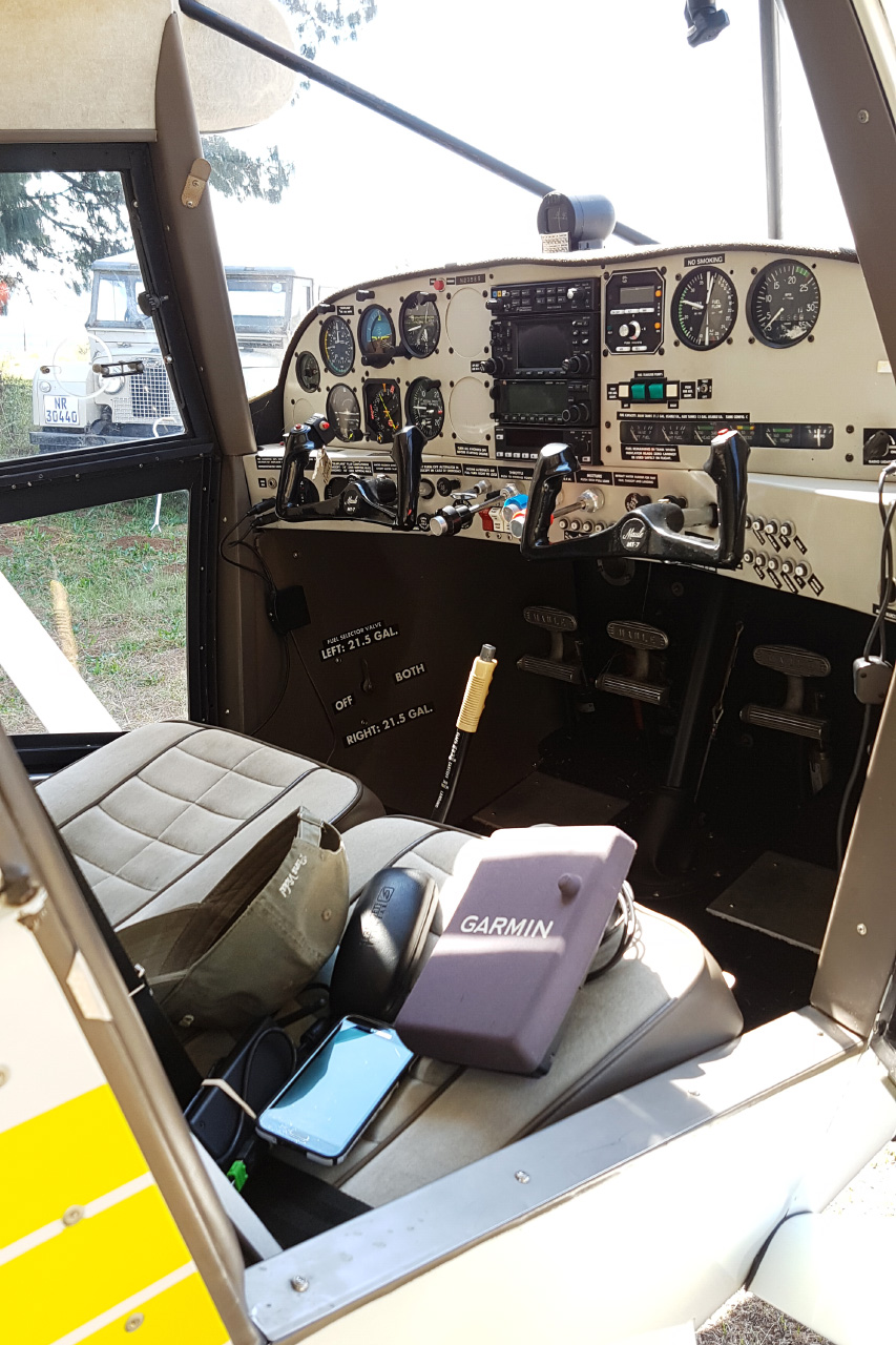
Aviation & Flying
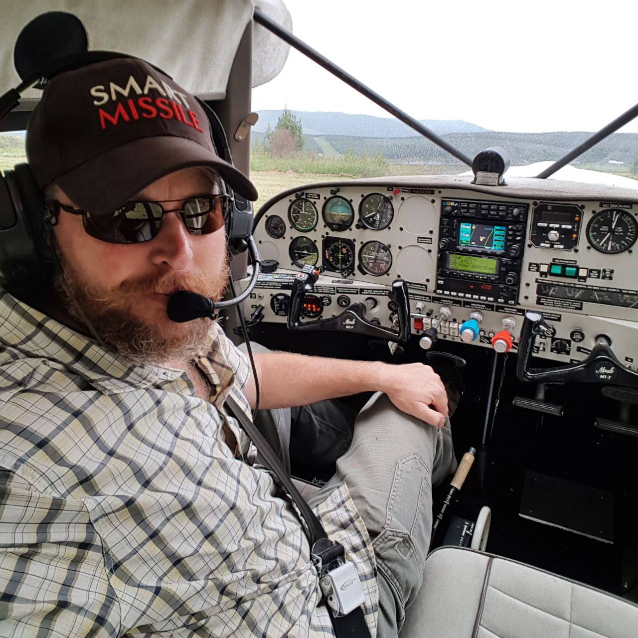
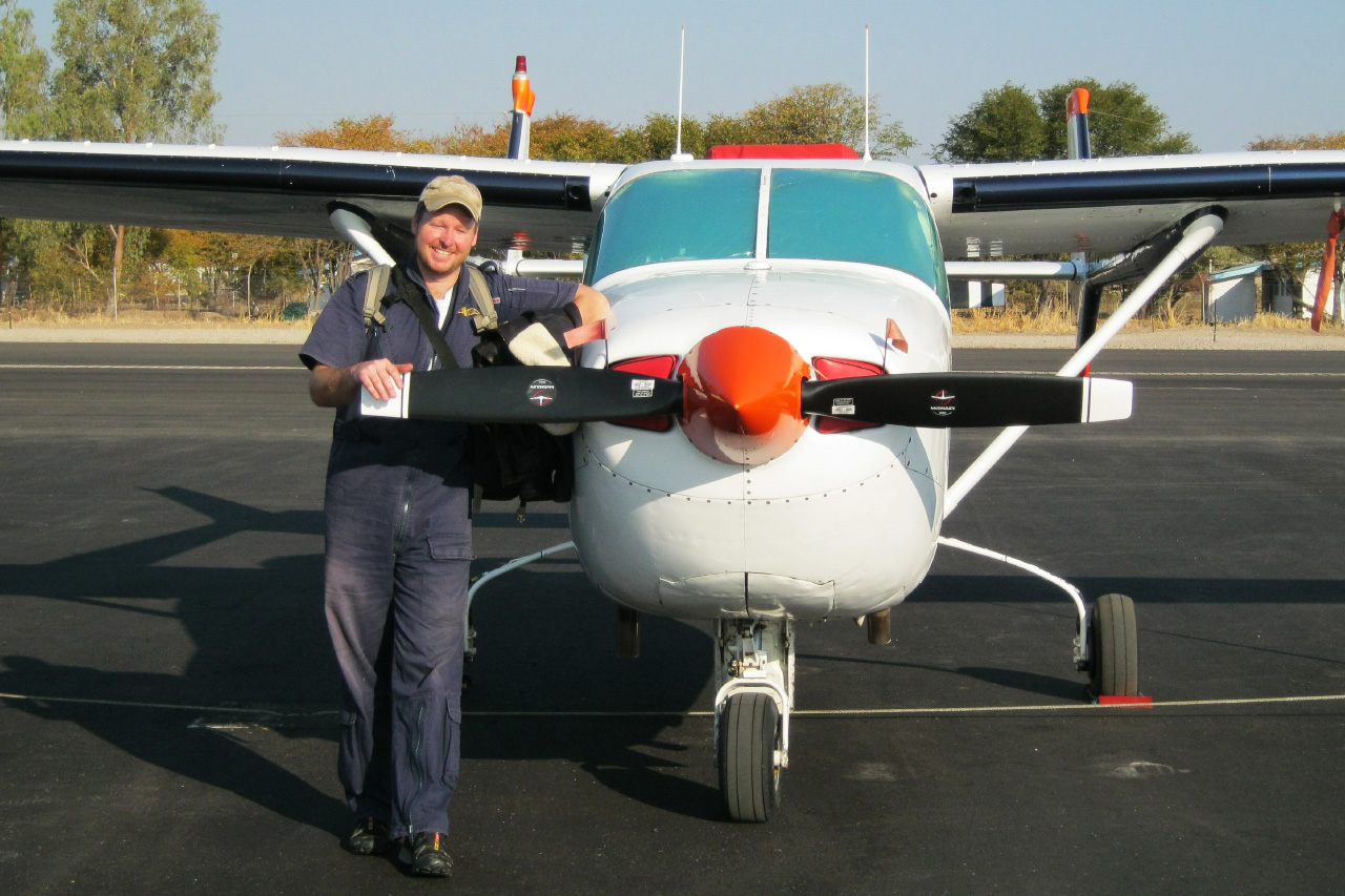
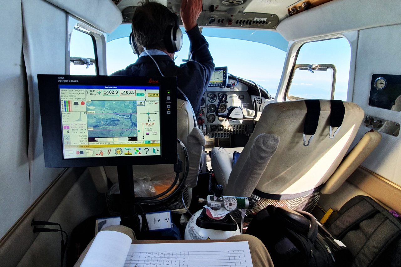
Work as a pilot, survey flying and Part 135 operations.
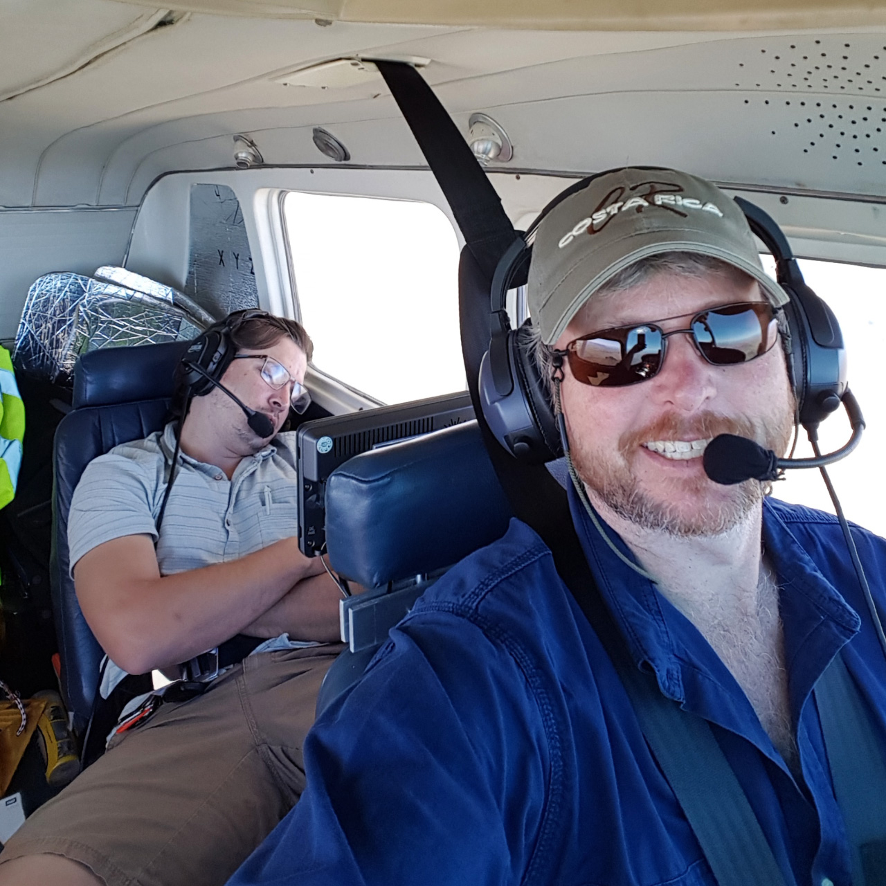
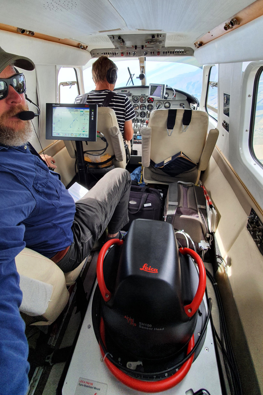
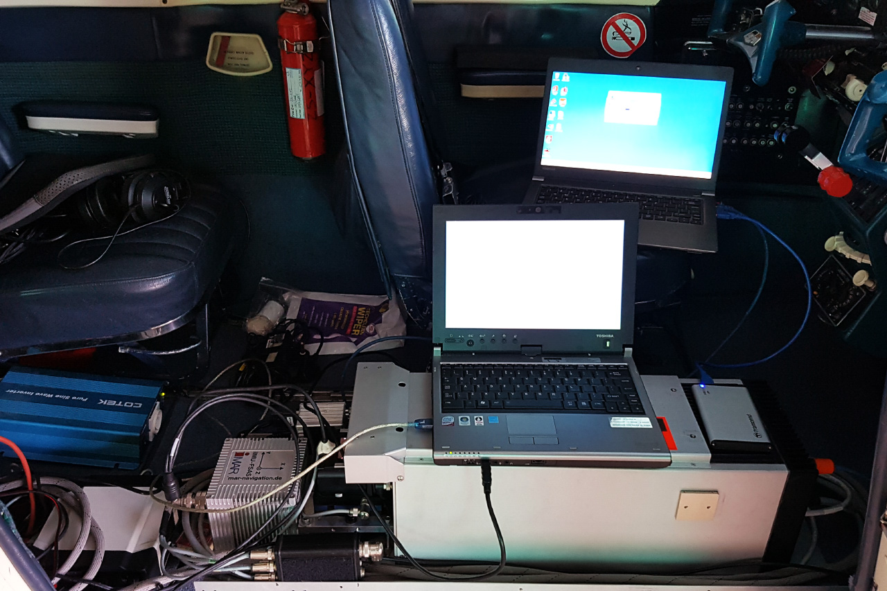
As pilot and sensor operator, often both at the same time.
View PhotosSensors & Systems
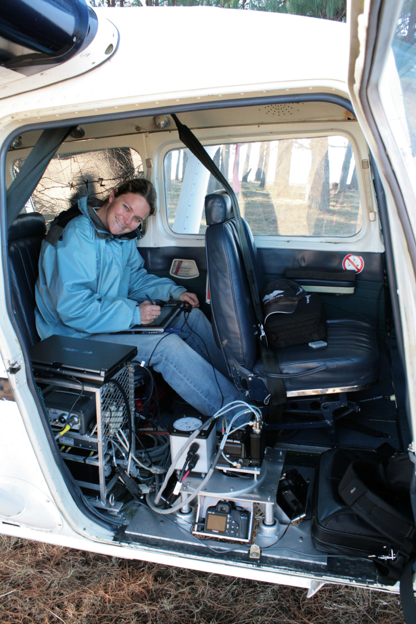
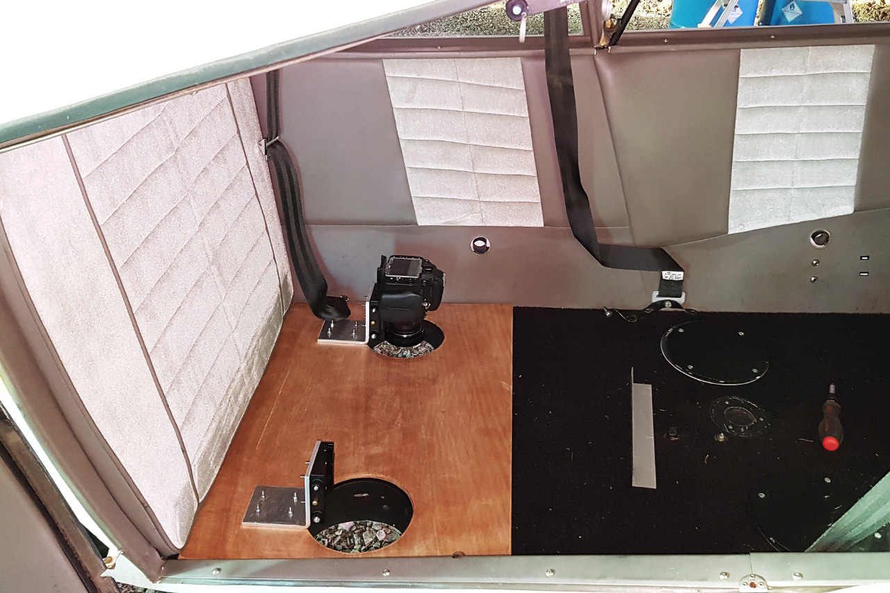
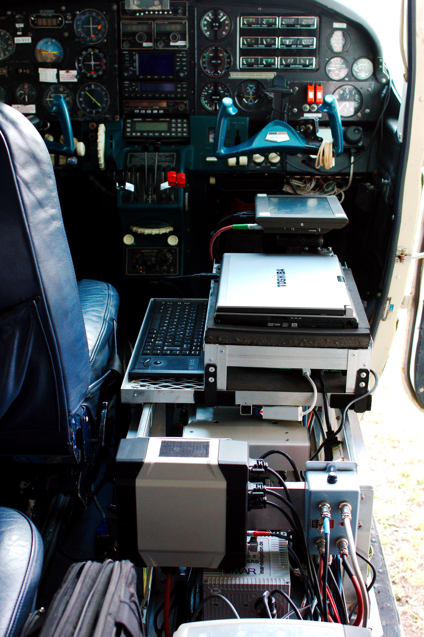
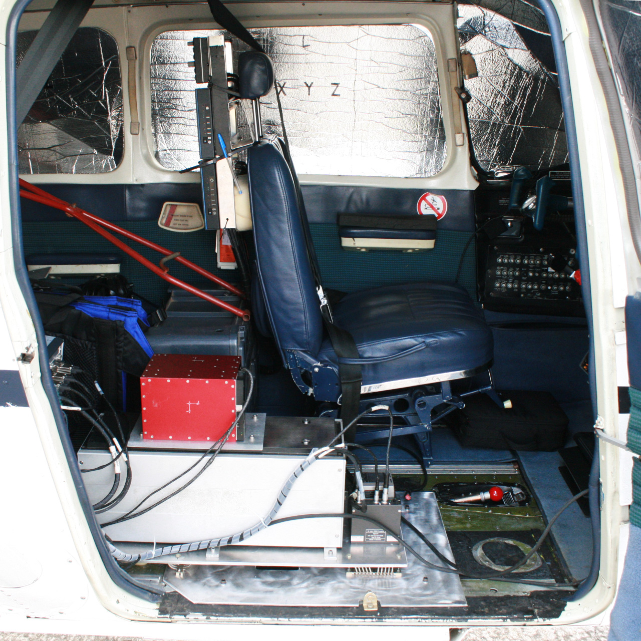
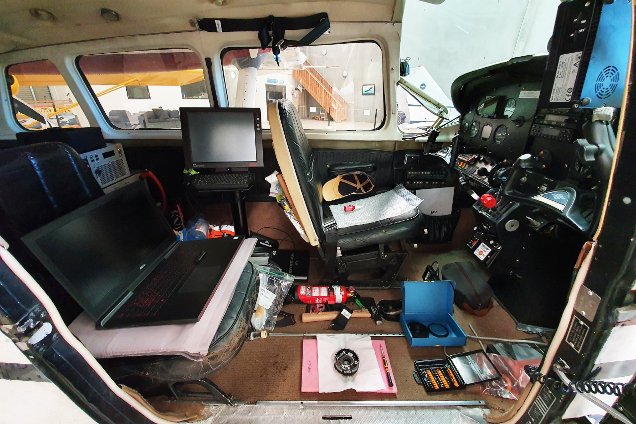
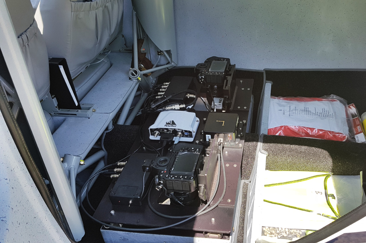
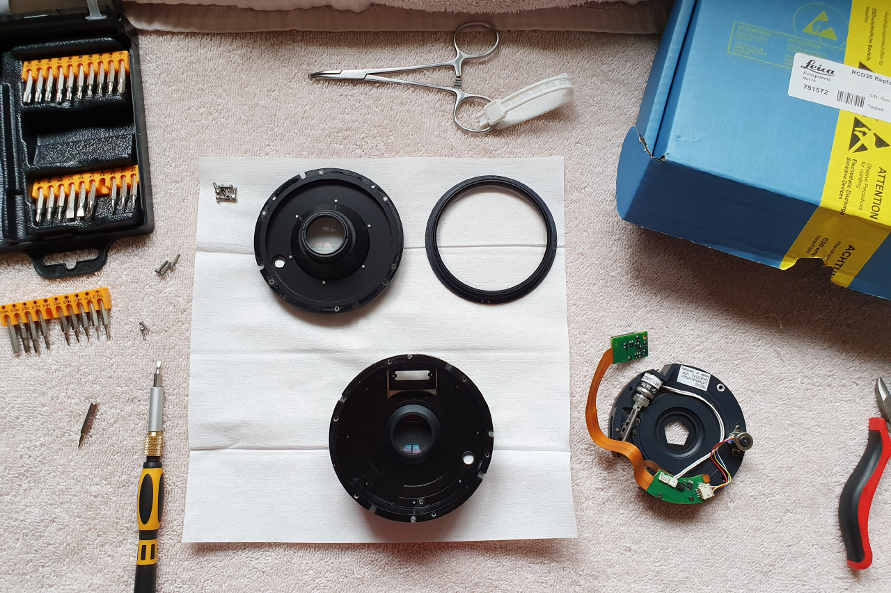
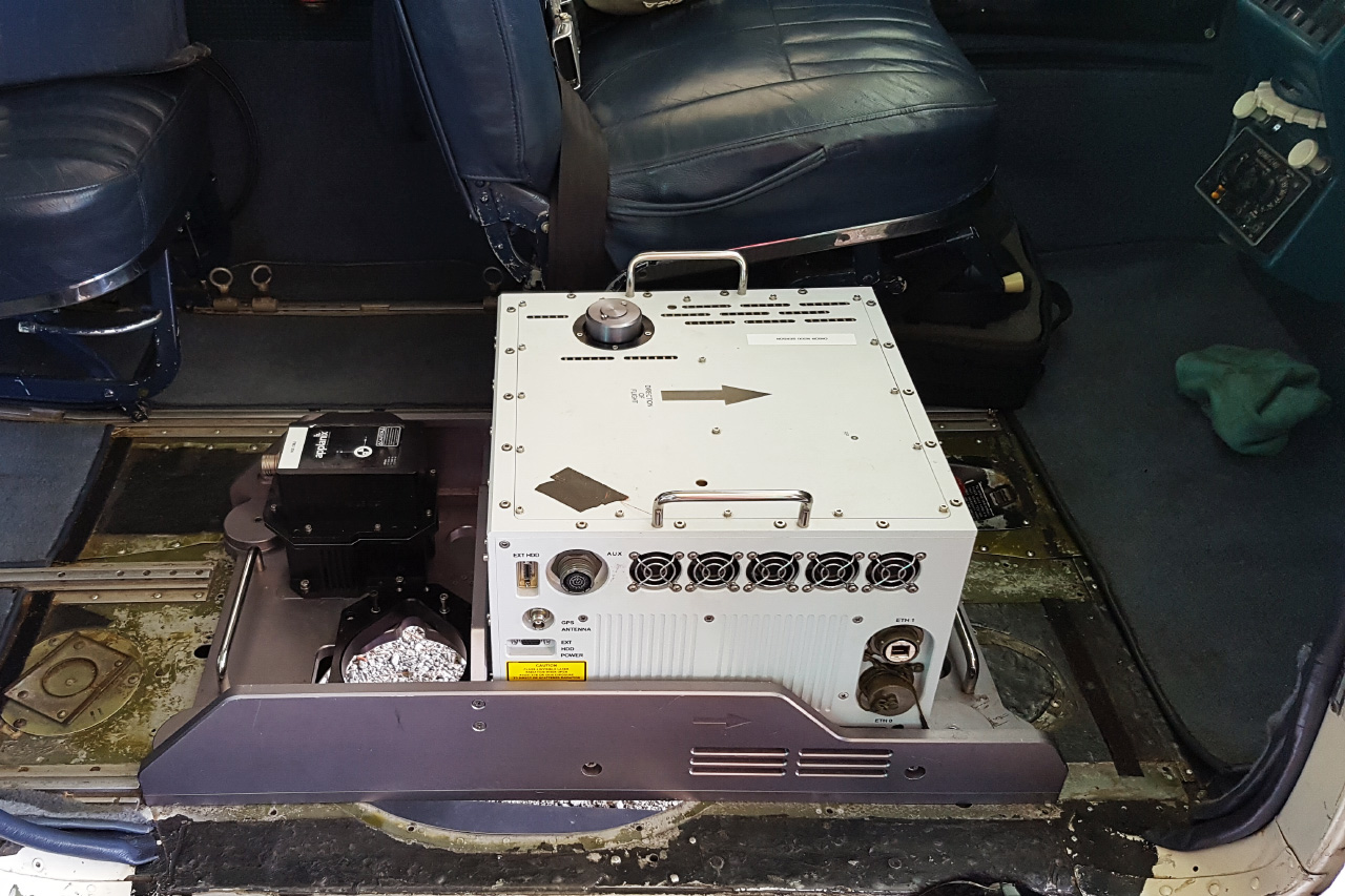
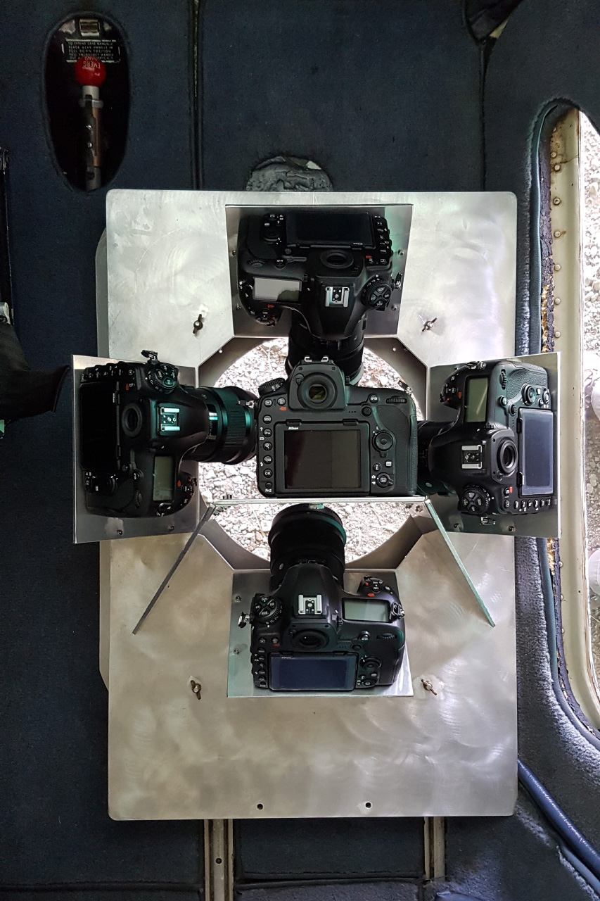
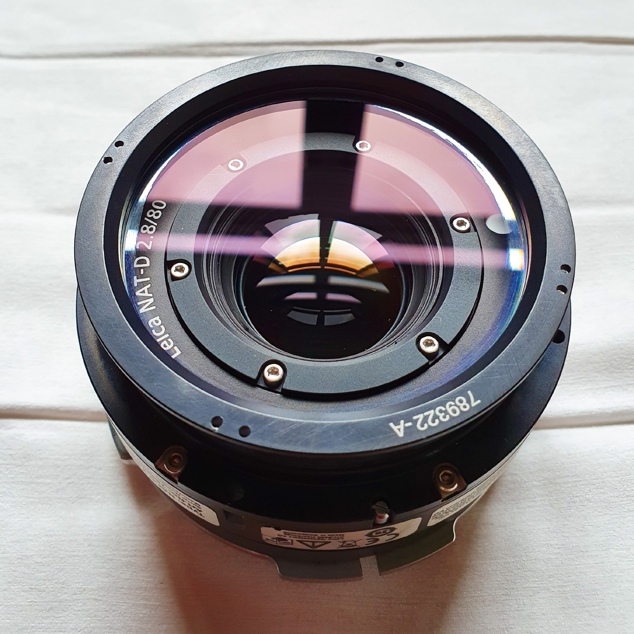
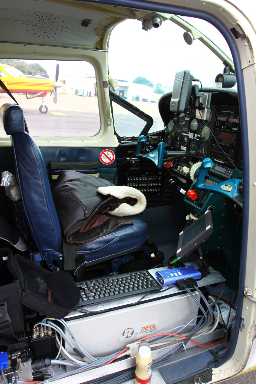
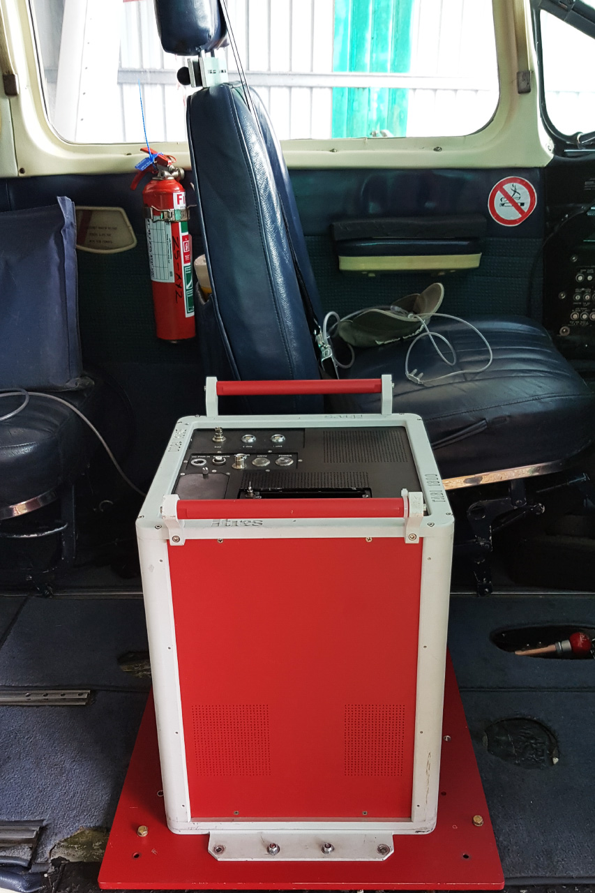
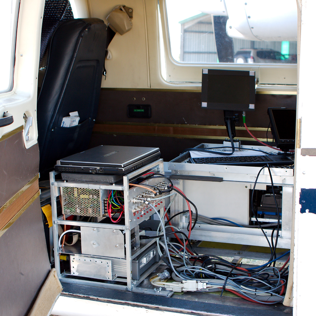
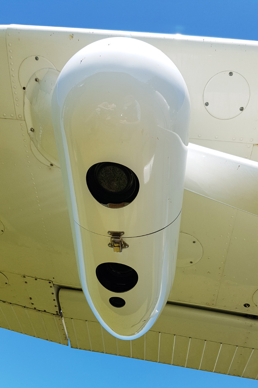
Design, build, repair, integration and working with airborne sensors.
From simple to highly complex, we've worked with a multitude of cameras and LiDAR sensors.
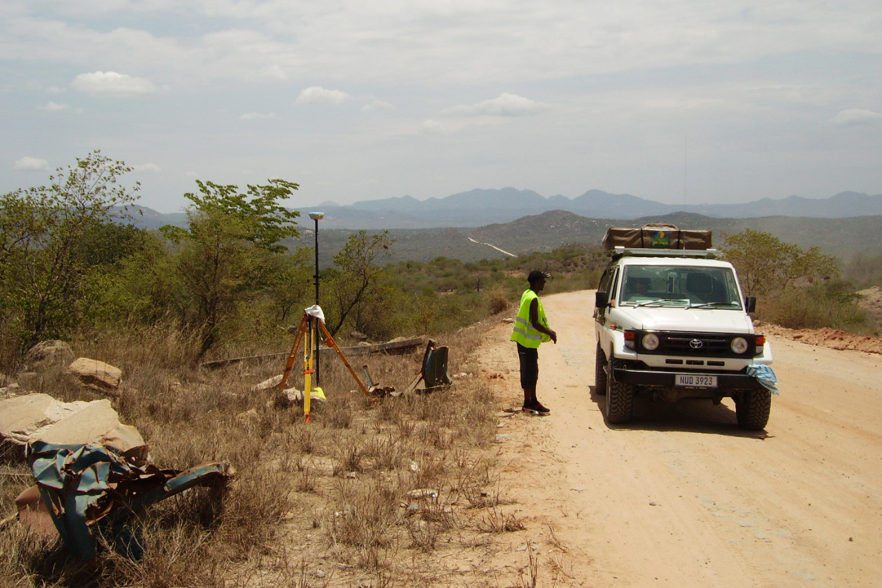
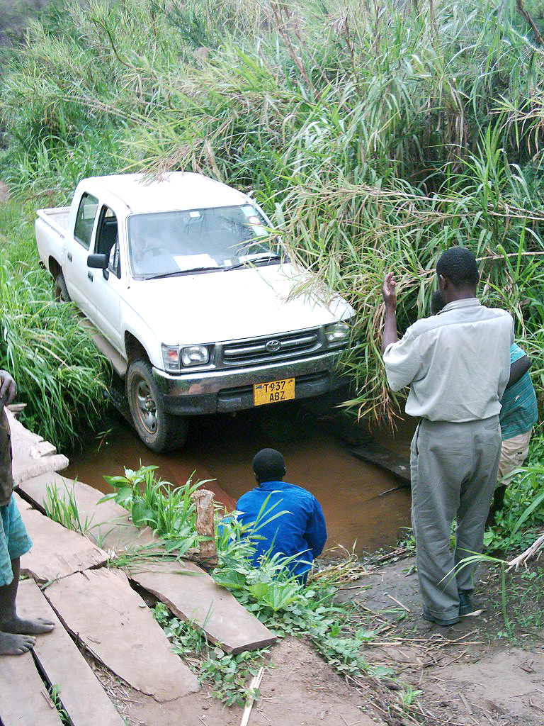
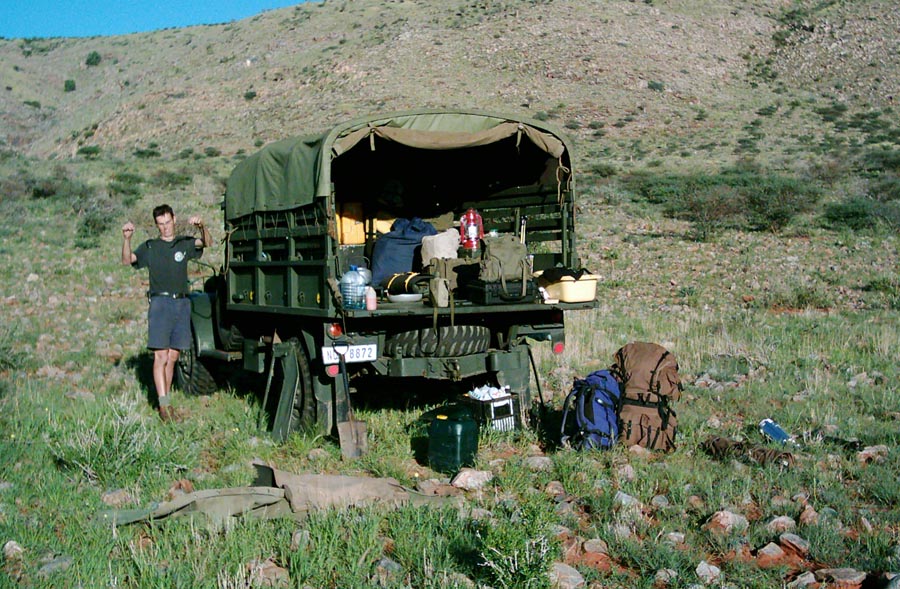
View PhotosGround Work
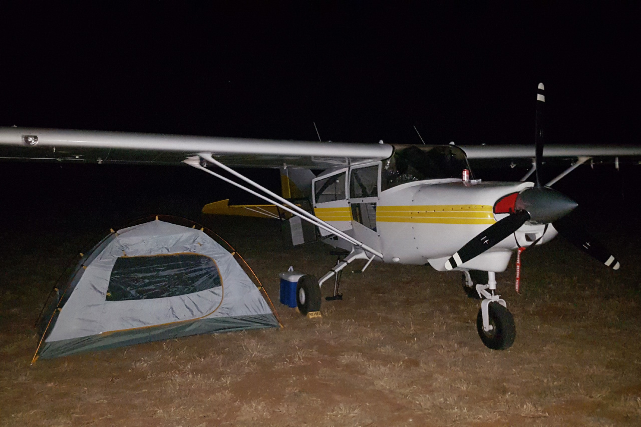
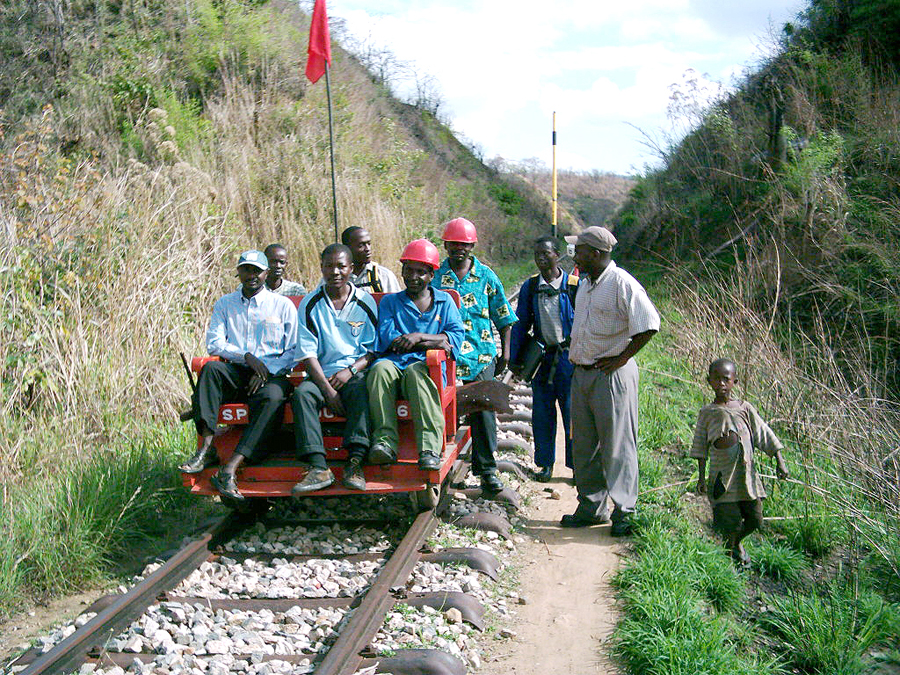
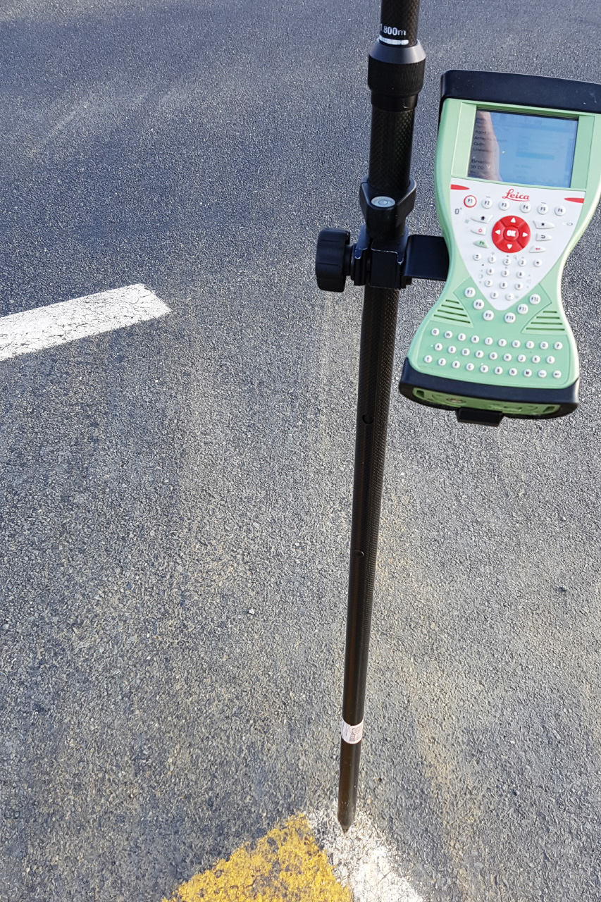
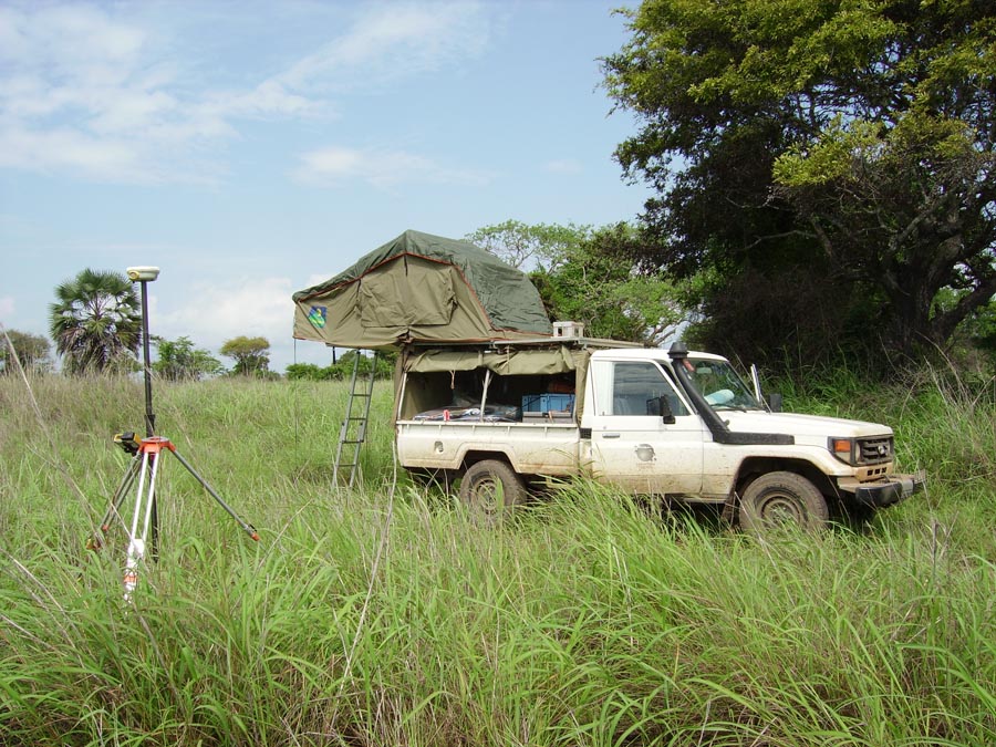
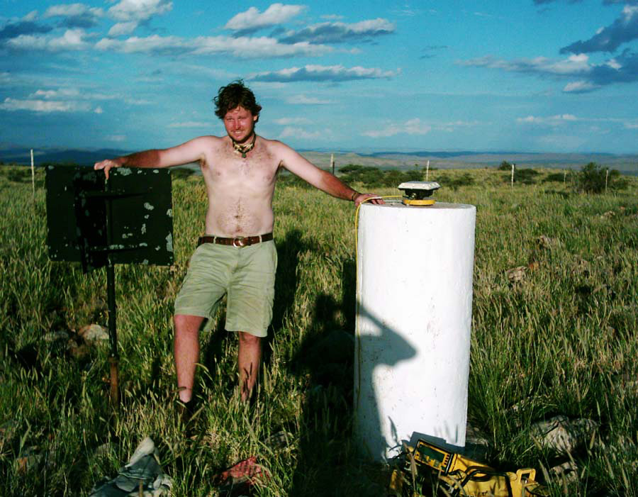
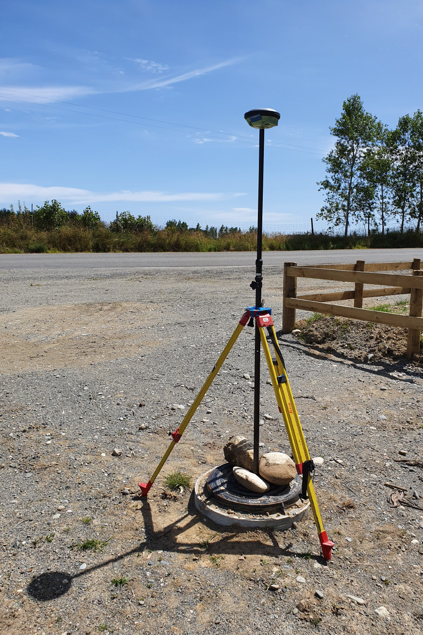
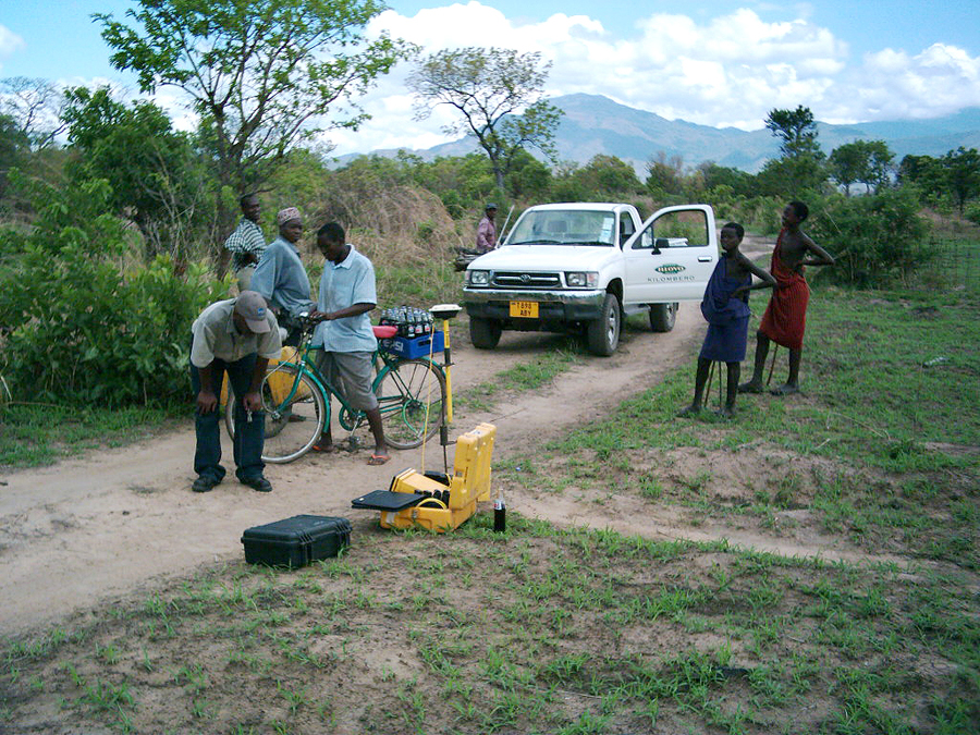
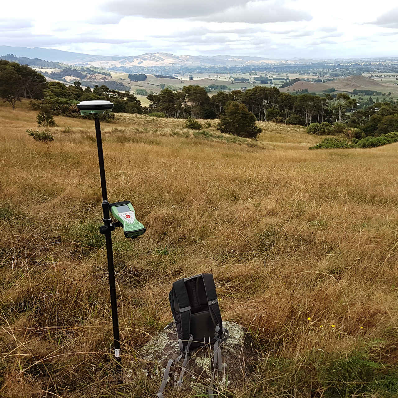
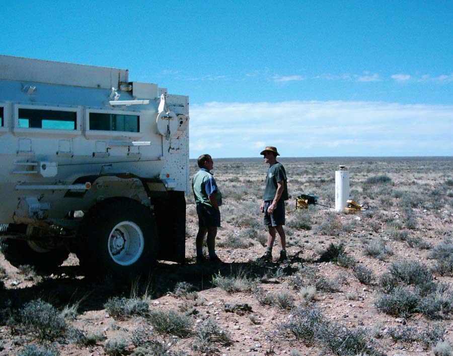
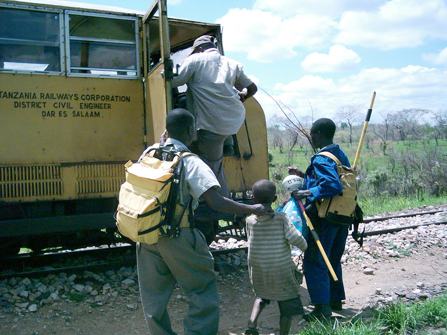
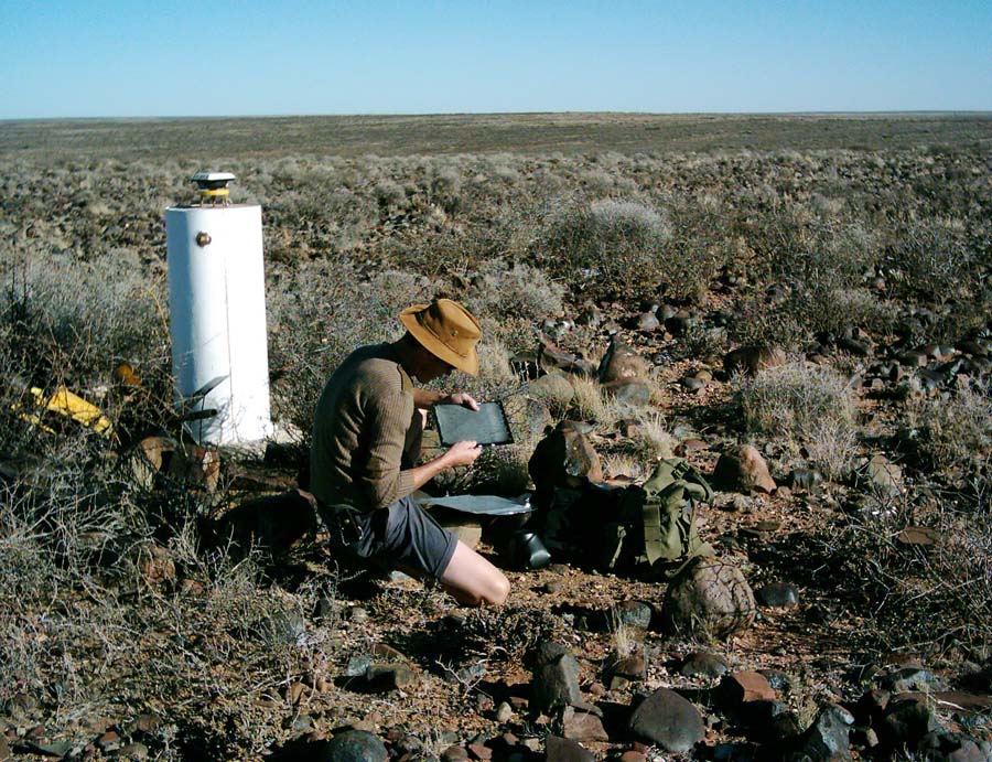
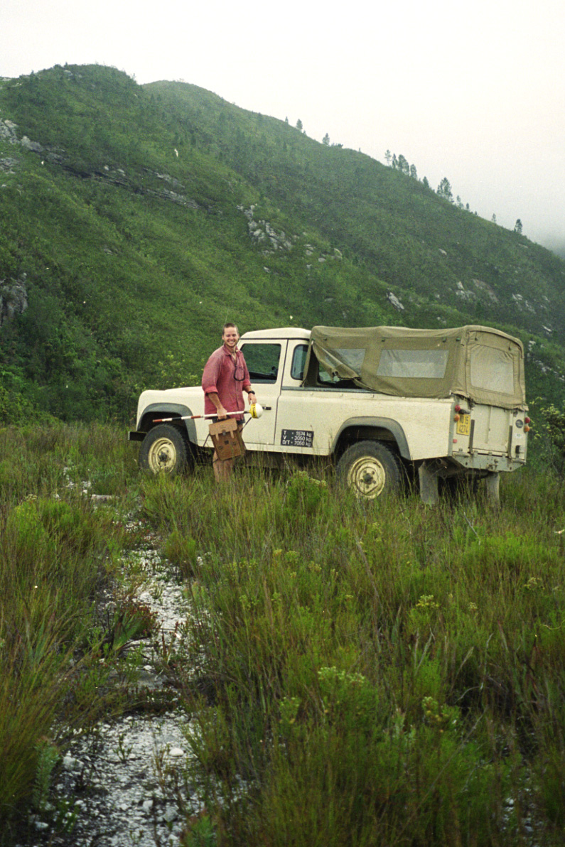
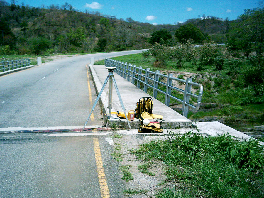
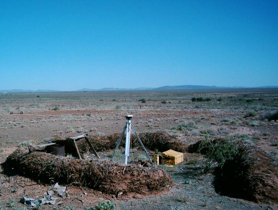
Base stations, ground control and ground truthing in support of aerial surveys.
Often working in very remote areas for projects like regional surveys, infrastructure development and agriculture.
View PhotosSpecial Interest
Aerial survey and remote sensing related.