Core Features & Services
The demand for geospatial information has never been higher. With increasing economic, environmental and performance pressure on all primary sectors, well informed decisions and monitoring are crucial. Affordable and versatile, our portable solutions result in increased imagery and mapping coverage more often, ensuring your information is current and available when required.
Colour Imagery
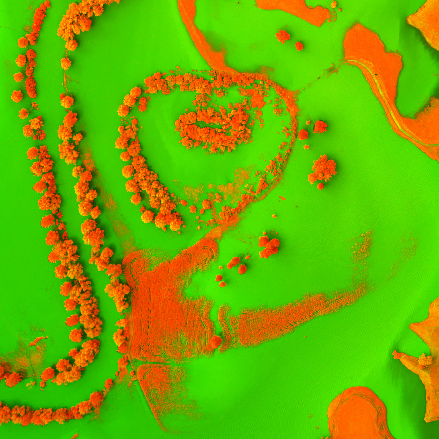
Near-Infrared
Thermal
Post-Processing
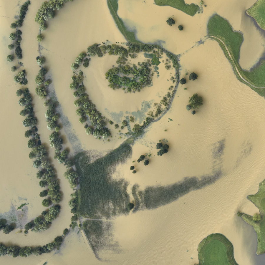
Photogrammetry
Mapping
Data Integration
Consulting
Recent Projects
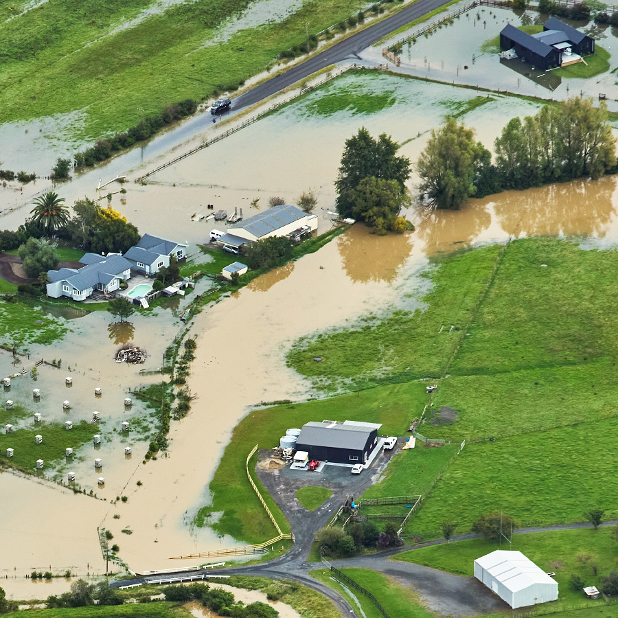
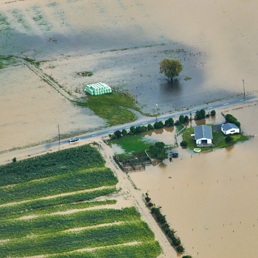


Cyclone Gabrielle - Flood Water Assesment
One of our primary services is to offer rapid deployment, quick turn-around mapping solutions for emergencies and situations with a high degree of urgency.
The heavy rain and subsequent flooding from Cyclone Gabrielle was just such a situation, where the intelligence gained by mapping the extent of flood waters at their peak was hugely advantageous.
With Tony from Waikato Aviation at the controls, we were airborne the day after the Cyclone passed over, acquiring imagery in overcast, rain and rough air conditions.
Just over 3600 images were captured, RGB & NIR, distributed over 38 flight lines in four key areas.
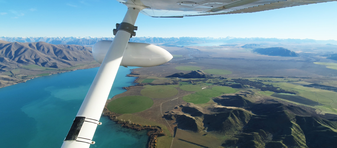
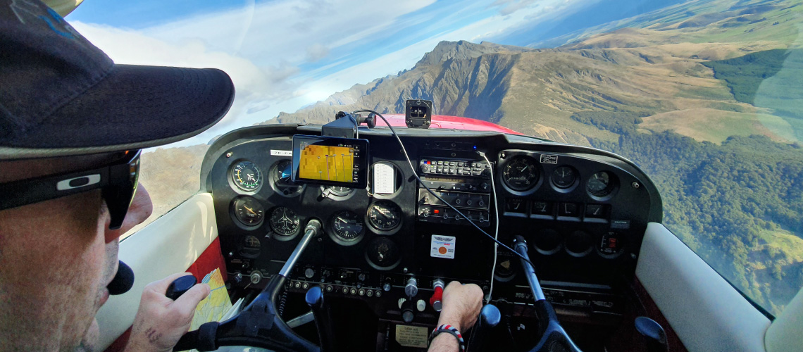
Come with us for a brief flight...
This flight was conducted in May, 2022 - RGB Imagery was acquired for 10cm GSD final output resolution of Matamata township along with a couple of farms at 7.5cm GSD. The aircraft was supplied by Waikato Aviation. Installation of the pod took approximately 15 minutes with the flight lasting just over an hour.